
FAA Part 107 Certified · Montgomery, AL · Nationwide
Professional Drone Services
AirTac Drone Technologies delivers precision aerial solutions for commercial, industrial, and emergency applications. Every mission is backed by FAA certification, advanced equipment, and a commitment to results.
01 — Service
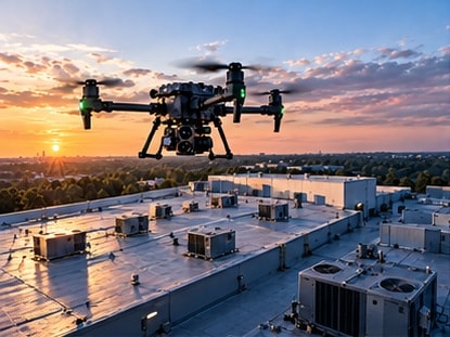
Commercial & Industrial Inspections
Comprehensive aerial inspections of commercial facilities, industrial plants, and manufacturing sites. Our FAA-certified pilots deliver high-resolution visual data that identifies structural issues, equipment wear, and safety hazards — without costly shutdowns or scaffolding.
02 — Service
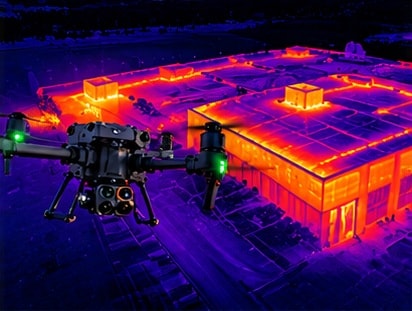
Thermal Imaging & Analysis
Advanced infrared thermal imaging for detecting heat signatures, energy loss, electrical faults, and moisture intrusion invisible to the naked eye. Ideal for industrial facilities, roofing inspections, solar panel audits, and utility infrastructure.
03 — Service
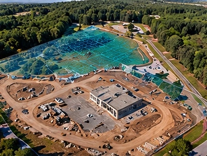
Aerial Mapping & Survey Support
Precision aerial mapping and photogrammetry for land development, agriculture, and environmental monitoring. We generate accurate 2D orthomosaics, 3D point clouds, and topographic models to support your planning and analysis needs.
04 — Service
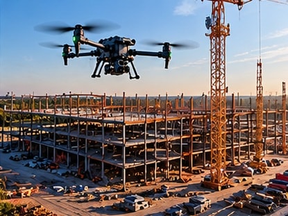
Construction Monitoring
Regular aerial progress documentation for construction projects of any scale. Track earthwork, structural progress, and site conditions over time with consistent overhead imagery that keeps stakeholders informed and projects on schedule.
05 — Service
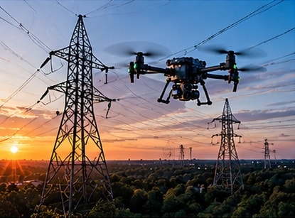
Utility & Infrastructure Inspections
Safe, efficient aerial inspections of power lines, pipelines, substations, and critical infrastructure. Reduce risk, cut costs, and eliminate the need for rope access or bucket trucks while capturing detailed visual and thermal data.
06 — Service
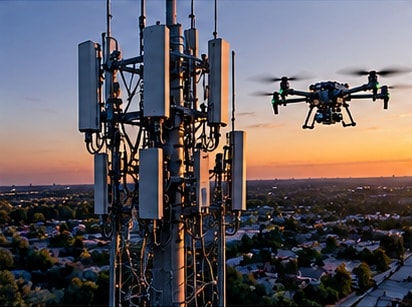
Water & Cellular Tower Inspections
Detailed close-range inspections of water towers, cell towers, and communication structures. Our drone systems capture high-resolution imagery of every component — antennas, welds, coatings, and hardware — without putting crews at height.
07 — Service
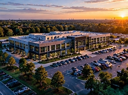
Commercial Real Estate & Aerial Photography
Stunning aerial photography and video tours that make properties stand out in a competitive market. We capture the full scope of residential and commercial listings — from sweeping exterior shots to neighborhood context — helping agents close faster.
08 — Service
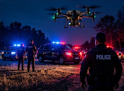
Law Enforcement Support
Tactical aerial support for law enforcement operations including scene documentation, suspect tracking, crowd monitoring, and evidence collection. Our certified pilots operate with discretion and professionalism alongside first responder teams.
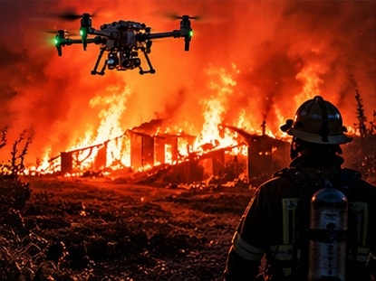
09 — Service
Fire & Emergency Response
Rapid-deployment drone support for active fire scenes, flood assessment, and disaster response. Our systems provide real-time aerial intelligence and thermal imaging to incident commanders when every second counts.
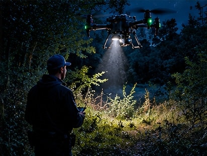
10 — Service
Search & Rescue
Rapid aerial search coverage for missing persons operations. Equipped with thermal and optical sensors, our drones cover large terrain quickly — day or night — giving search teams the aerial advantage that saves lives.
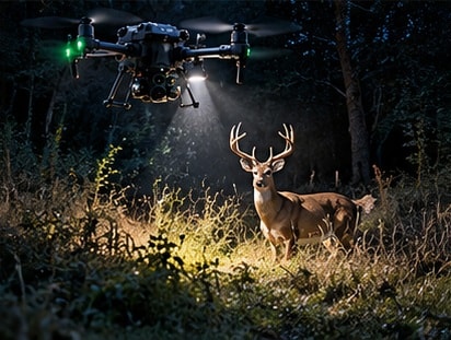
11 — Service
Deer Recovery
Specialized thermal drone recovery services for hunters tracking wounded deer. Our infrared sensors detect heat signatures through dense brush and low-light conditions, dramatically reducing recovery time and ensuring ethical harvest.
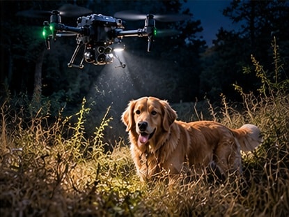
12 — Service
Missing Pet & Wildlife Recovery
Compassionate and efficient aerial search services for missing pets and wildlife. Thermal imaging allows us to locate animals in yards, fields, and wooded areas where ground searches fall short — giving families the best chance of a reunion.
Get Started
Ready to Launch Your Mission?
Contact AirTac Drone Technologies today to discuss your project requirements and get a custom quote.